The functions launched by Google Maps are transforming the way consumers are using the application. Differentiating itself from competitors like Waze and Apple Maps, Google presented a package of updates that reinforces customization and integration with other technologies.
O Maps, which was already known for offering features such as pedestrian routes, cyclists and drivers, satellite images and Street View, plus real-time traffic information, now stands out with more advanced options. Betting on artificial intelligence (IA) and augmented reality (RA), Google has improved route accuracy and personalized user experience. The maps are more realistic, with immersive views and easy access across multiple platforms. Check out the main news:
Lens no Maps
One of the main innovations is the integration of the Lens feature into the application. By clicking on the camera icon and pointing the cell phone at a street, the user sees arrows with directions, names of establishments and other useful information in real time — an experience that resembles an augmented reality GPS.
Collaboration in public transport
The new immersive mode allows users to contribute information about delays and complaints about bus lines and other forms of public transport. Before, collaborative reports were only available for private vehicles.
Detailed view
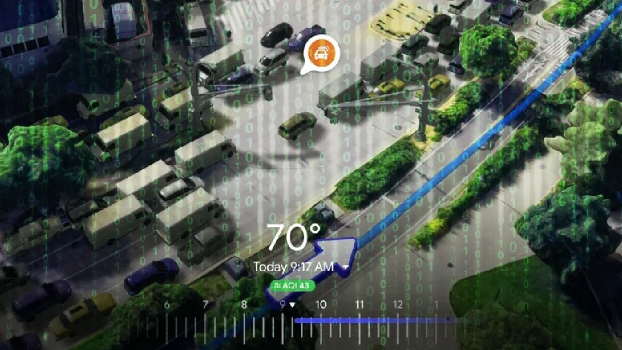
With these updates, routes are more precise and rich in details. The immersive experience allows the user to feel as if they are flying over the city, roads and highways, with access to 3D images of the surrounding streets and landscapes.
Intelligent routing
Google Maps now creates personalized routes for drivers, indicating strategic stops and points of interest, like gas stations, restaurants, hotels and tourist attractions along the route. This information can be activated with just one click.
Interacting with Gemini AI
Another big improvement is the integration with Gemini AI. User can ask complex questions directly to the app, as: “Where are there coffee shops with vegan options in neighborhood?” or “What is the best time to take bus line Y without being late for appointment Z?”
Screenshot recognition
The application even started to recognize prints, helping with travel planning. Simply take a screenshot of a location and Maps will identify the destination and provide additional information about it.
Support for electric vehicles
Finally, Google Maps now also shows where electric vehicle charging stations are, in addition to indicating which ones are compatible with the user's car model.